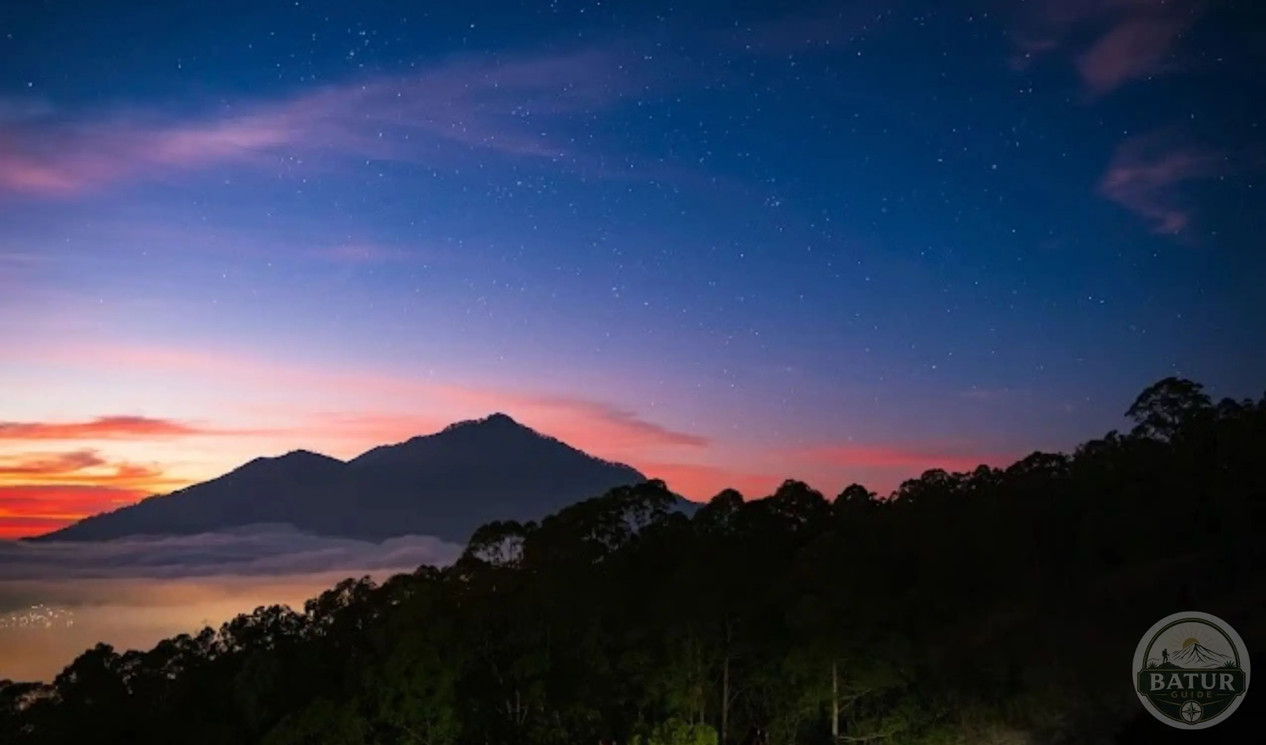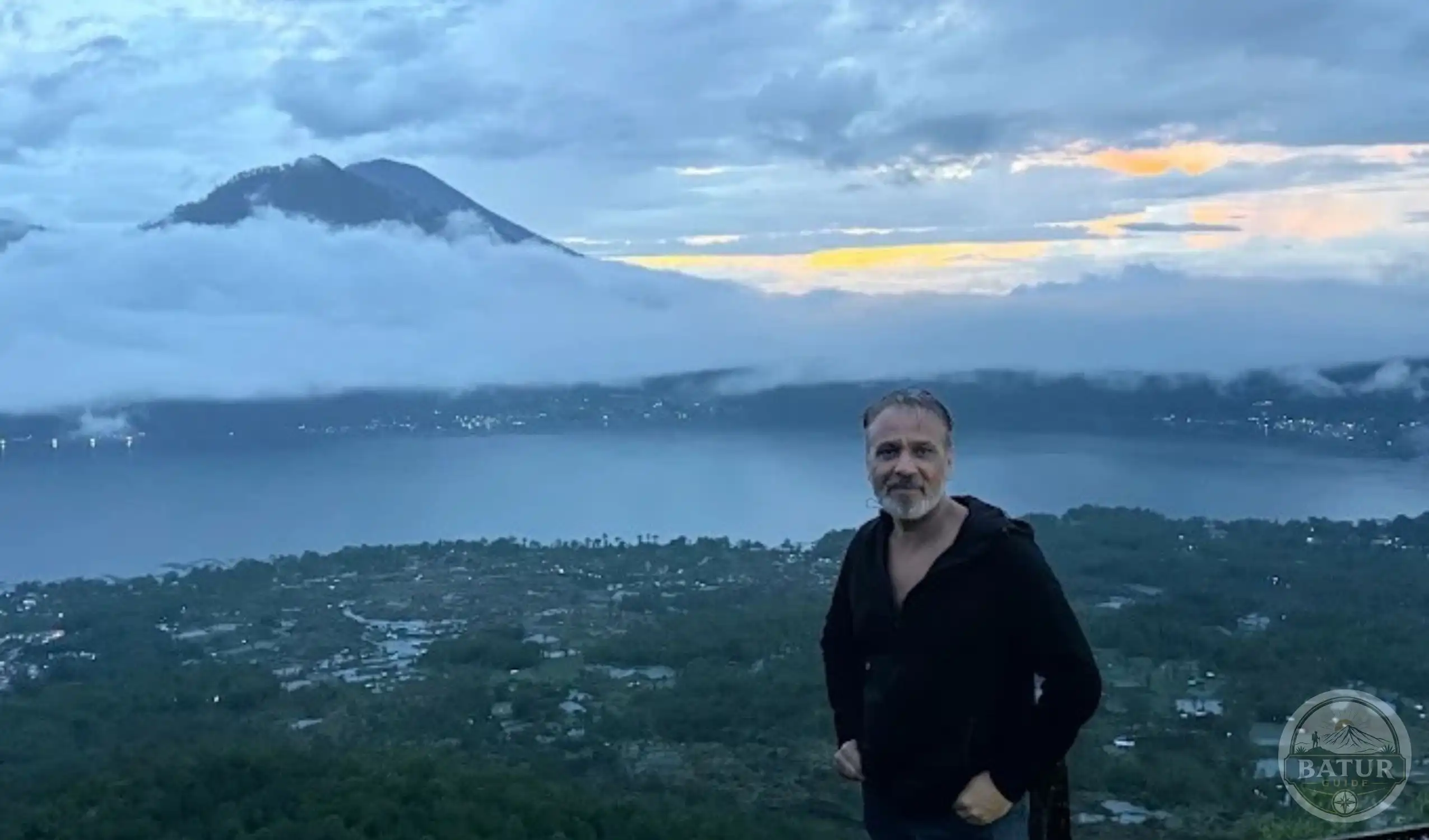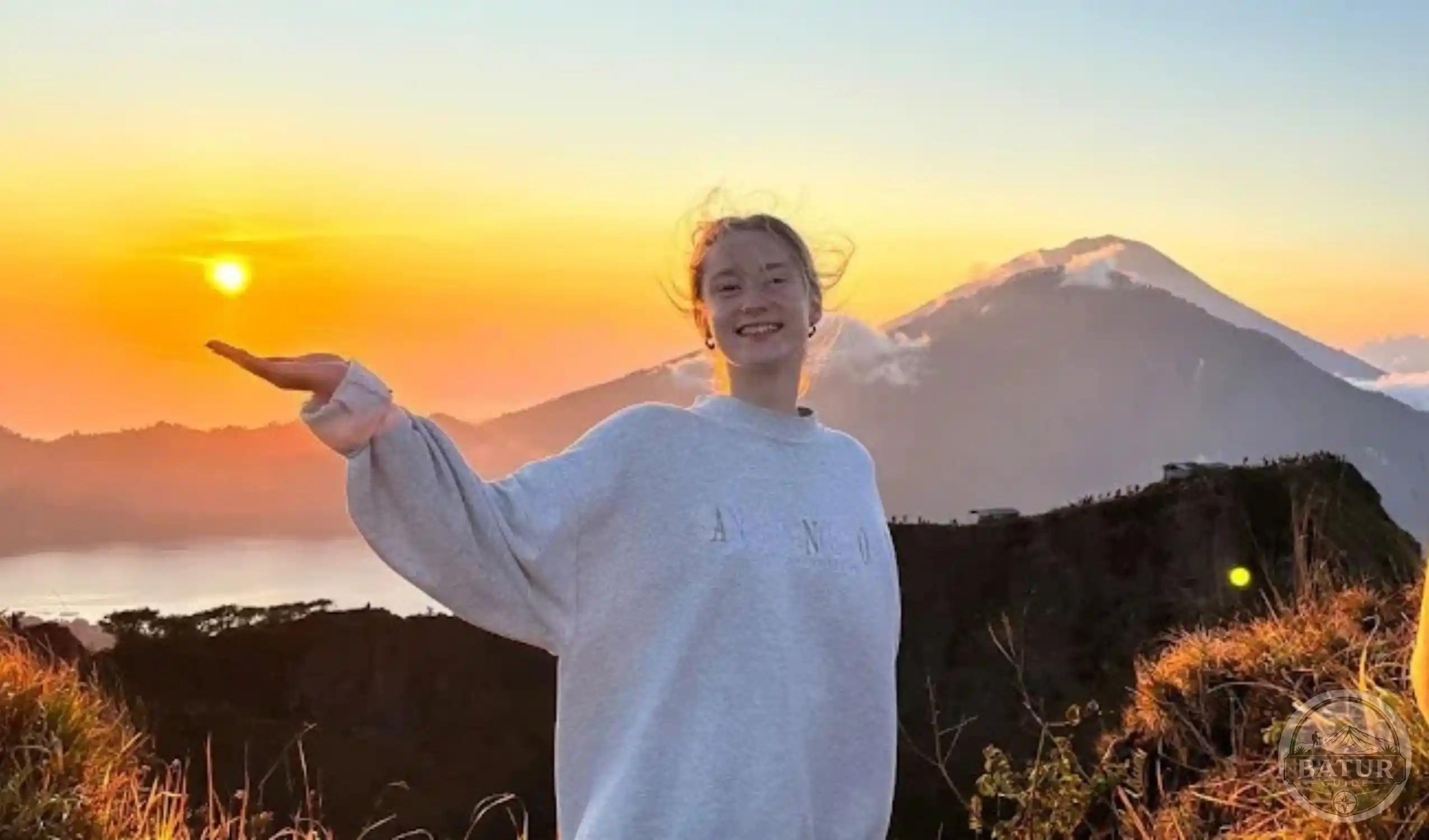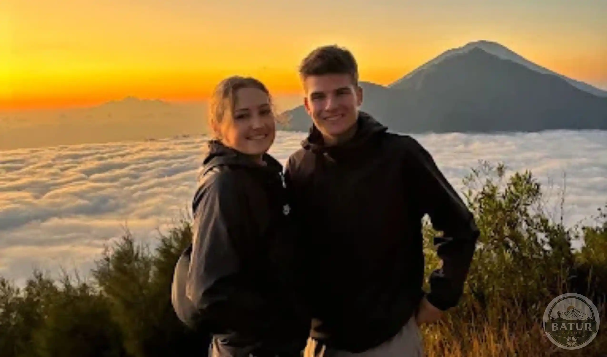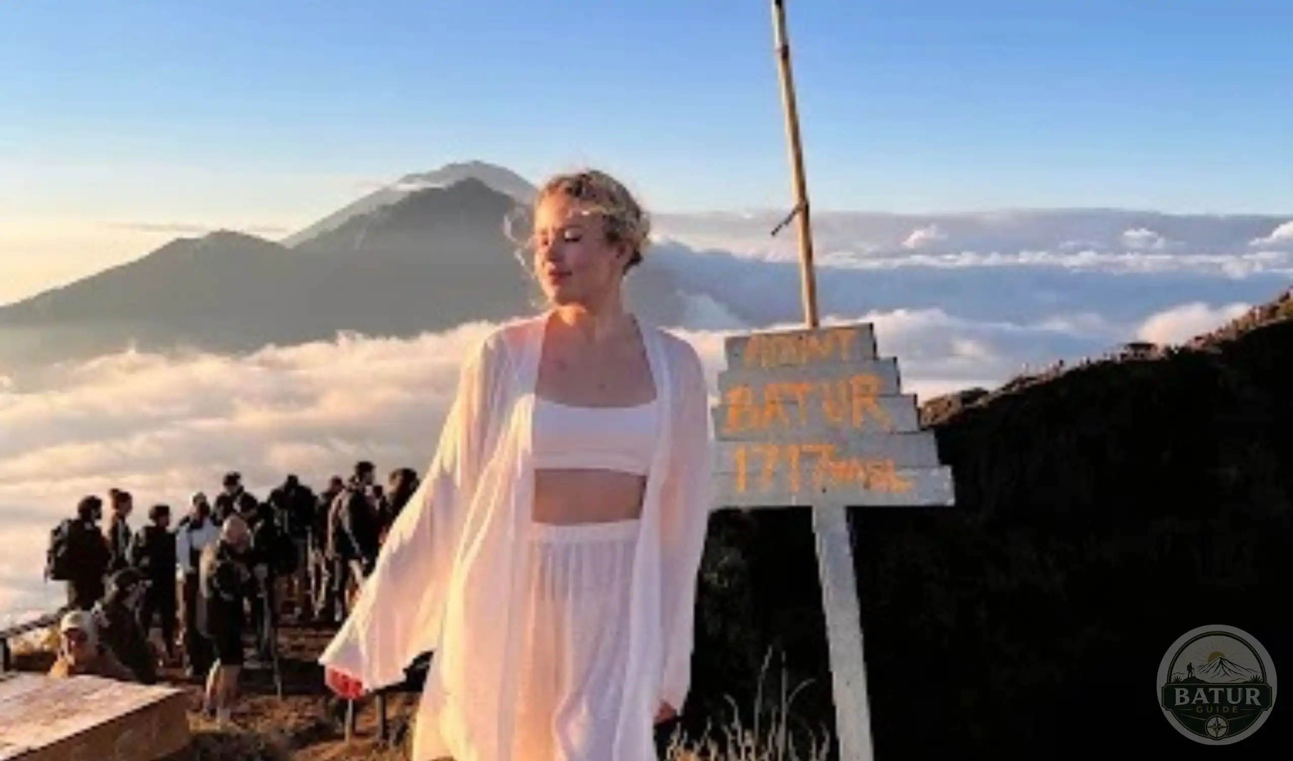
Explore the Mount Batur route, discover the main trekking starting points, understand volcanic trail conditions, and plan your journey from Ubud to Bali’s famous sunrise summit.
Mount Batur Route Guide for a Memorable Bali Trek
Choosing the right Mount Batur route can make a significant difference to your sunrise trekking experience in Bali.
Although several trails lead towards the mountain’s summit, each starting point offers different terrain, access conditions, and levels of physical challenge.
Therefore, understanding the available routes before departure helps you select an experience that matches your fitness and travel plans.
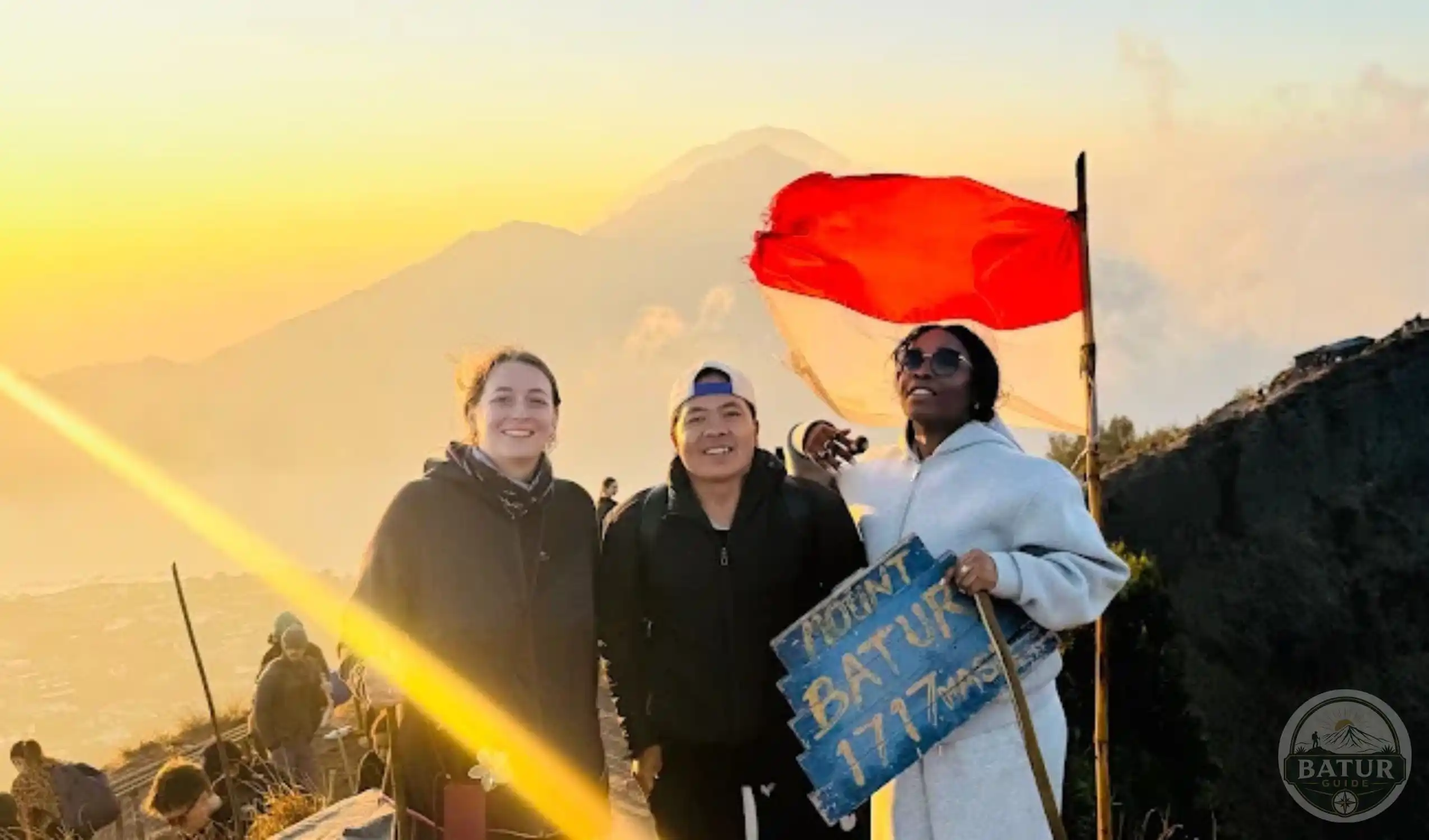
Mount Batur stands approximately 1,717 metres above sea level in the Kintamani highlands of Bali.
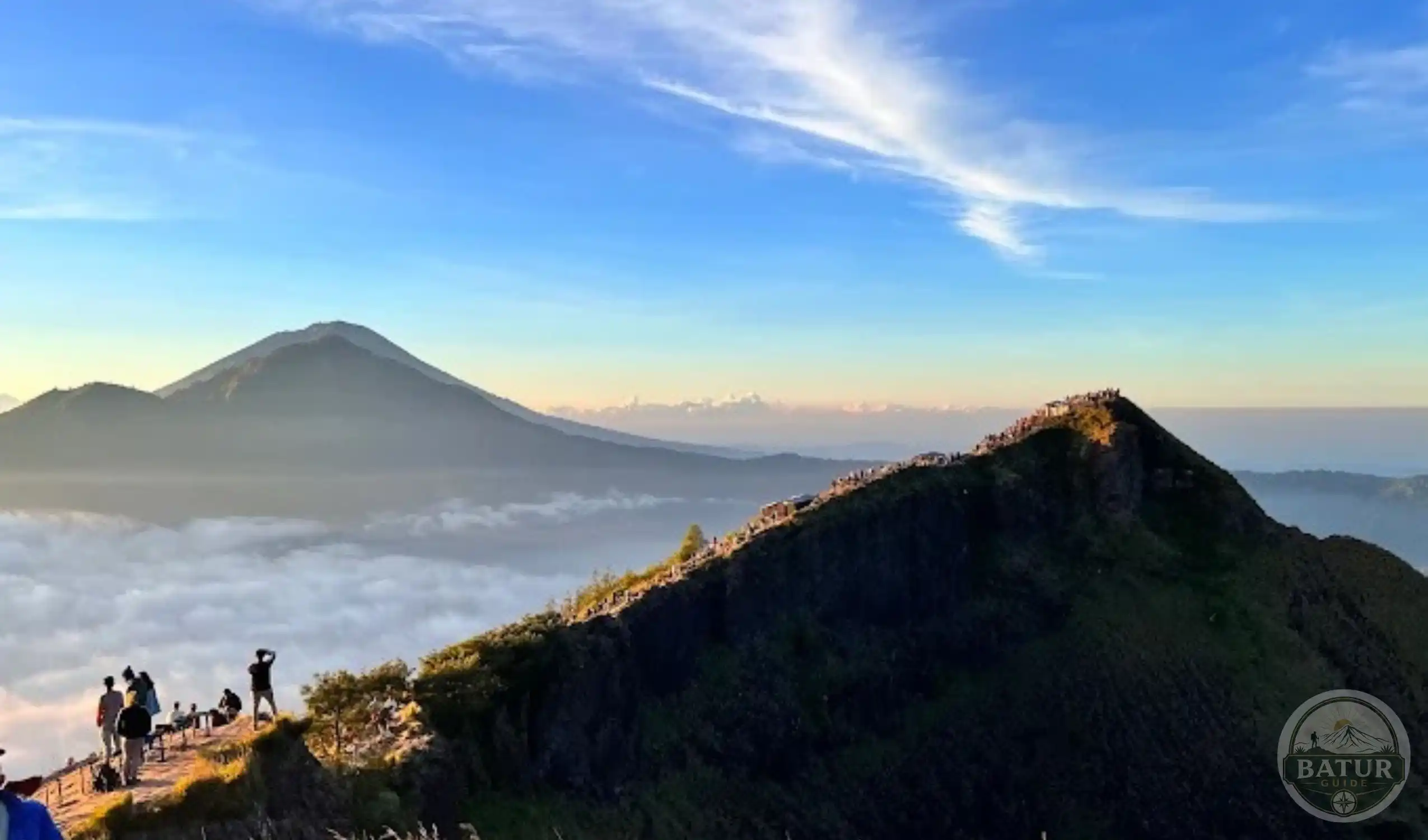
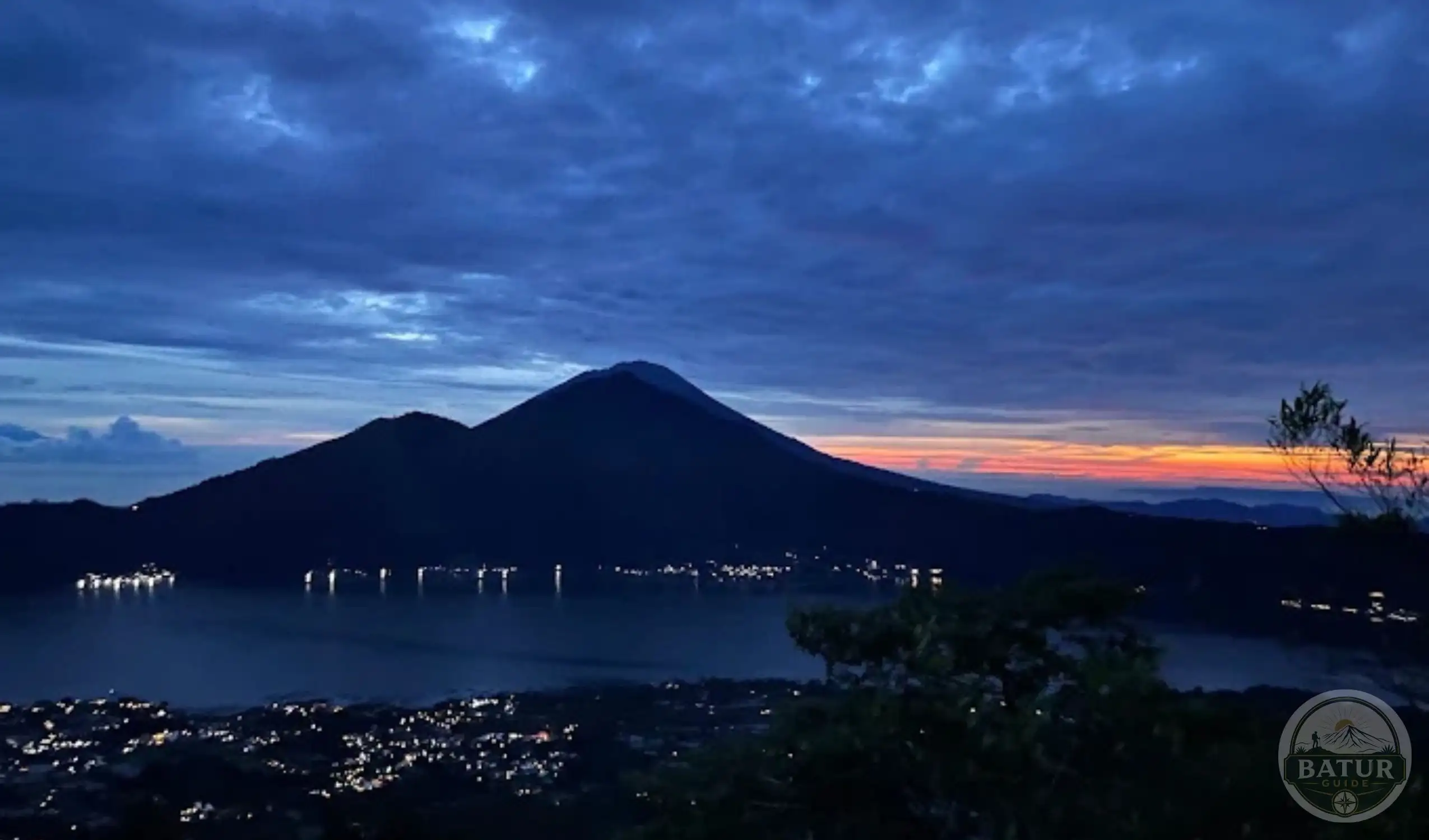
The mountain sits within a dramatic volcanic caldera, surrounded by rugged slopes, Lake Batur, and neighbouring mountain scenery.
As a result, the trek attracts travellers who want to experience Bali beyond its beaches, temples, and busy resort areas.
For most sunrise hikers, the journey begins with an early morning drive to a designated trailhead.
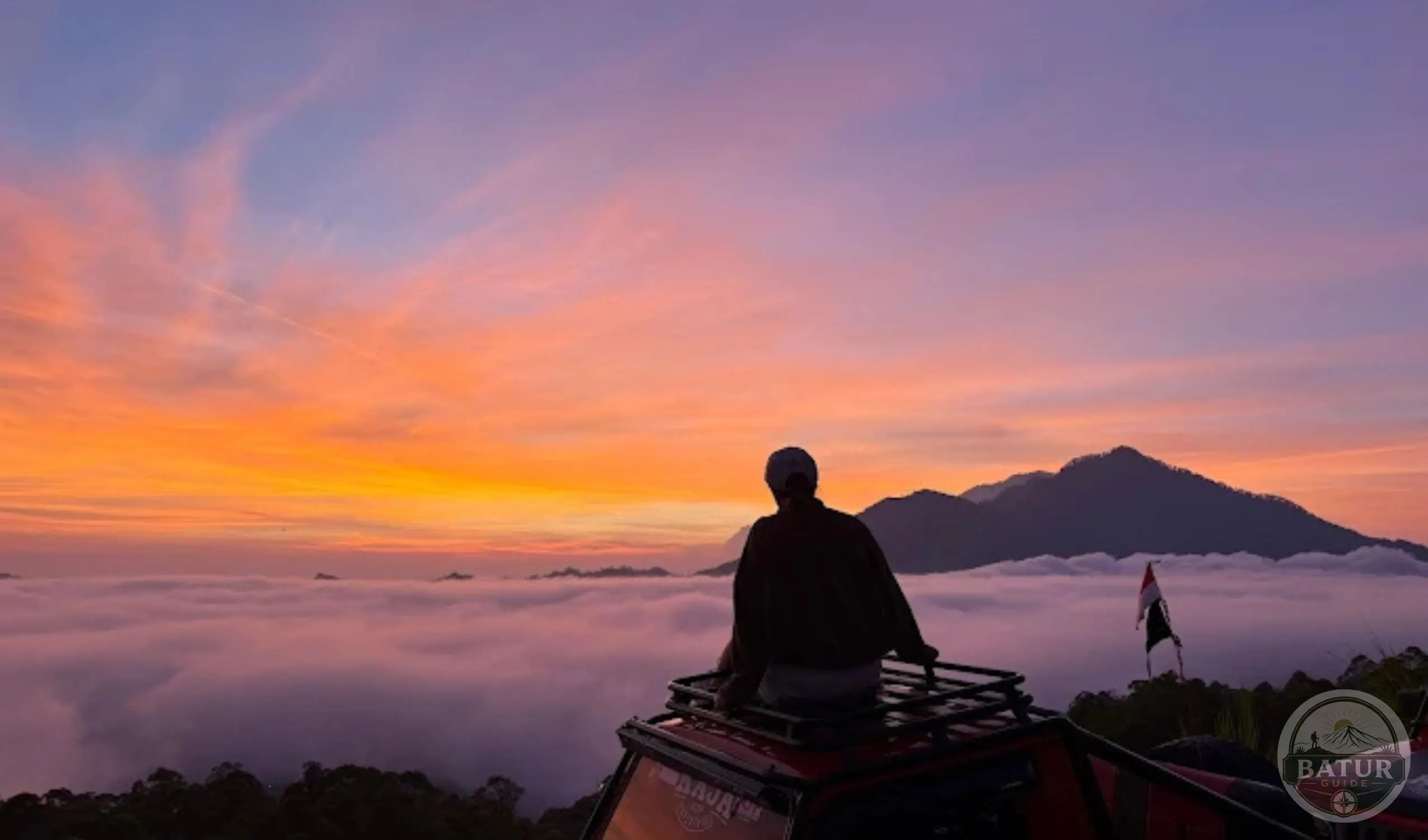
From there, the path climbs through volcanic terrain towards the summit, where clear weather can reveal beautiful views across the surrounding landscape.
However, the route you choose influences how the climb feels, how long you spend on the trail, and what you encounter along the way.
This guide explores the main Mount Batur trekking routes, explains the differences between popular starting points, and describes the terrain you can expect.
It also covers access from Ubud, trail preparation, and practical considerations for a safer and more enjoyable mountain adventure.
Where Does the Mount Batur Trekking Route Begin?
The Mount Batur trekking route begins at a designated starting point in the Kintamani area. Several approaches serve hikers, although Toya Bungkah remains one of the best known starting points for sunrise trekking.
Other routes include approaches from Pura Jati, Serongga, and the Pasar Agung area.
Local trekking operators may also use different trail entrances according to their itinerary and the current arrangements for mountain access.
These options do not necessarily follow identical paths, so travellers should confirm their starting point before booking. <Cite refs={[“turn564004search0″,”turn564004search7″,”turn564004search8”]}/>
Toya Bungkah sits near Lake Batur and provides access to a commonly used summit route. =
Many organised sunrise experiences begin here because the approach offers a clear itinerary for reaching the upper slopes before dawn.
Meanwhile, Pura Jati provides another approach that takes hikers across volcanic terrain. Routes from Serongga and other starting areas may offer different combinations of uphill sections, loose gravel, and open views.
Your starting point determines much of the character of the trek. Therefore, rather than choosing a route based on its name alone, ask your guide about the trail conditions, expected ascent, and suitability for your experience level.
Mount Batur Trekking Route From Ubud
The Mount Batur trekking route from Ubud begins with a road journey towards Kintamani before you continue on foot. The drive generally takes around one to one and a half hours, although your exact travel time depends on your accommodation, road conditions, and chosen trailhead.
Sunrise trekking requires an especially early departure. Many visitors leave Ubud during the early morning hours so they can reach the starting point, prepare their equipment, and begin climbing in darkness.
If your package includes hotel pickup, confirm the collection time and location in advance. This is particularly important when you stay outside central Ubud, because accommodation locations can affect the transport schedule.
After reaching the trailhead, you will usually meet your guide and receive any necessary instructions before starting the hike. The route then follows a gradual or sustained ascent, depending on the approach, towards higher volcanic slopes.
For a convenient arrangement, you can explore the Mount Batur hiking from Ubud experience. Reviewing the transport arrangements alongside the trekking route helps you understand how the journey fits into your wider Bali itinerary.
The Main Mount Batur Hiking Routes
Mount Batur offers several approaches, and each one presents a different balance of accessibility, terrain, and trekking difficulty. Although route availability can change, the following starting points provide useful context when comparing your options.
Toya Bungkah Route
<text color=”secondary” size=”sm”>Popular approach for sunrise trekking</text>
The Toya Bungkah route is one of the most widely used approaches to Mount Batur’s summit. Its starting area lies near Lake Batur, and organised sunrise tours frequently use this side of the mountain.
The trail combines natural paths, volcanic ground, and increasingly steep sections as you gain elevation. Depending on the exact route, you may pass through areas with vegetation before reaching more exposed terrain closer to the summit.
This approach appeals to travellers who want a conventional sunrise trekking experience with a local guide. However, the path still requires physical effort, especially during the final uphill sections.
Loose volcanic gravel can also make the descent challenging. Therefore, shoes with dependable traction and a steady walking pace are important throughout the journey.
Pura Jati Route
The Pura Jati approach provides another way to reach the upper slopes of Mount Batur. Depending on the chosen trail, hikers encounter volcanic ground and rocky sections as they progress towards the summit area.
Some descriptions distinguish this route by its approach across lava fields and its combination of gentler initial sections with more demanding terrain farther along. Nevertheless, the precise experience depends on the route selected by the guide.
This option may interest travellers who want to understand the mountain’s volcanic landscape rather than focus exclusively on the sunrise viewpoint. As with any approach, confirm the current starting arrangements and expected difficulty before departure. <Cite refs={[“turn564004search8″,”turn564004search20”]}/>
Serongga Route
The Serongga approach begins in the village area northeast of Toya Bungkah. Local route descriptions associate this option with a quieter approach and sections of sandy or loose volcanic ground.
Compared with the main Toya Bungkah approach, the trail may offer fewer convenient viewpoints along the way. Consequently, hikers who choose this route should understand the planned stopping points before setting off.
Loose surfaces can become more challenging during the descent, especially when hikers move too quickly. Suitable footwear and guidance from someone familiar with the route can help you navigate these sections more carefully.
Ask your operator whether the Serongga route suits your fitness level and whether the itinerary includes the summit or a particular viewpoint.
Pasar Agung Approach
The Pasar Agung approach offers a shorter but potentially steeper ascent from the southern side of the mountain. Some local trekking descriptions identify it as a more demanding option because hikers encounter rocky ground and steep sections.
Although a shorter route may appear attractive, it does not automatically provide an easier experience. A steep climb over loose volcanic material can demand more balance and strength than a longer route with a gentler gradient.
For this reason, travellers should not select the Pasar Agung approach solely because of its advertised climbing time. Ask about the actual trail conditions, the route currently in use, and whether the guide recommends it for your experience level. <Cite refs={[“turn564004search0″,”turn564004search5″,”turn564004search7”]}/>
Mount Batur Hiking Route From Ubud and Trail Conditions
The Mount Batur hiking route from Ubud involves two separate parts of the journey. First, you travel by road from your accommodation to the designated trailhead. Next, you follow the walking route selected for your trekking experience.
The road approach generally uses the regional roads leading towards Kintamani and the Lake Batur area. However, the final access road depends on the starting point, so you should not assume that every trekking package follows exactly the same driving route.
Once you begin hiking, the terrain changes as you gain elevation. Lower sections may include compacted earth, established paths, or areas with vegetation. Higher sections commonly feature exposed volcanic ground, loose gravel, and steeper slopes.
During a sunrise trek, darkness adds another consideration. You may find it harder to judge the surface beneath your feet, particularly where stones and volcanic sand shift underfoot.
A headlamp helps illuminate the trail, while shoes with good grip provide better support on uneven ground. In addition, following your guide’s pace helps you avoid rushing through difficult sections.
Weather can also affect trail conditions. Rain may increase slipperiness, while strong winds or poor visibility can change the experience near exposed areas. Always check the latest conditions with your operator before setting out.
Understanding the Mount Batur Trek Route From Ubud
The Mount Batur trek route from Ubud is best understood as a sequence of travel, ascent, summit time, and descent. Each stage contributes to the overall experience, even though the walking trail itself receives most of the attention.
After the early morning drive, your guide will direct you towards the designated entrance. Depending on the package, you may have time to organise your headlamp, adjust your footwear, and prepare water before beginning the climb.
The ascent then follows the selected trail towards higher ground. Your walking speed, fitness, and the terrain all influence how quickly you progress.
Near the summit, the trail may become steeper or more exposed. Take care when walking over loose stones, and avoid moving too quickly simply because you want to reach the viewpoint before sunrise.
After enjoying the scenery, you will follow the designated descent route. Some itineraries return along the same path, while others may use a different authorised route when local arrangements permit.
Before booking, ask whether your package follows a return loop or retraces the ascent. This detail affects the trail experience, the walking distance, and the time you should allow for the journey.
What to Expect on the Mount Batur Hiking Trail
The Mount Batur hiking trail changes character as you move from the lower slopes towards the summit. Understanding these changes helps you prepare for the physical demands of the trek.
Lower Trail Sections
Lower sections may feature compacted earth, established paths, and patches of vegetation. These areas can feel more comfortable than the exposed upper slopes, although the gradient still depends on your starting point.
During a night hike, pay attention to the ground immediately ahead. Even a familiar path can become difficult to navigate when darkness limits your visibility.
Steeper Volcanic Slopes
As you climb higher, you may encounter loose gravel, volcanic sand, and uneven rocks. These surfaces require careful foot placement because small stones can move under pressure.
Short, controlled steps can help you maintain balance. Moreover, allowing enough space between hikers reduces the risk of dislodging stones onto people below.
Exposed Summit Sections
The upper part of the route can feel more exposed to wind and changing weather. Some sections also require extra attention because the ground becomes rougher or steeper.
Stay with your guide and follow instructions about where to walk and stop. If conditions become unsafe, prioritise the guide’s advice over reaching a particular viewpoint.
The Descent
The return walk requires just as much attention as the ascent. Although gravity helps you move downhill, loose volcanic gravel can make your feet slide if you take long or hurried steps.
Keep your knees comfortably bent, choose stable footholds, and avoid overtaking other hikers on narrow sections. A steady descent helps you conserve energy and reduces unnecessary strain.
Which Mount Batur Route Is Best for Beginners?
The best Mount Batur route for beginners depends on your fitness, confidence on uneven ground, and preference for a particular trekking experience.
Toya Bungkah is a common starting point for guided sunrise hikes, making it a practical option to discuss with your operator. However, its popularity does not mean every section feels easy, especially near the summit.
Travellers with limited hiking experience should focus on the terrain and gradient rather than the shortest advertised duration. A route with a more manageable ascent may suit you better than a steep approach that promises a quicker climb.
Before your trip, build up your fitness through regular walking and practise on gentle inclines if possible. Choose suitable hiking shoes, bring drinking water, and wear clothing that allows comfortable movement.
Most importantly, tell your guide about your experience level before the climb. A suitable pace and clear communication can make the experience more manageable.
If you have mobility limitations or concerns about steep volcanic terrain, discuss alternatives with your operator rather than assuming that every route will suit your needs.
How to Prepare for the Mount Batur Route
Preparation helps you manage the early departure and changing terrain. Start by confirming your trailhead, pickup time, transport arrangements, and expected return route.
Wear hiking shoes with good traction because loose volcanic material can shift underfoot. A warm outer layer can also help during the cooler hours before sunrise.
Bring a headlamp, drinking water, and a small bag for essential belongings. Keep your phone charged, and avoid carrying unnecessary items that add weight during the ascent.
You should also check the weather forecast and ask your guide about current trail conditions. If local authorities close an area or restrict access, follow their directions instead of attempting an alternative route independently.
For further planning, read the Mount Batur start time guide and the Mount Batur duration guide. These related resources help you coordinate the route with your schedule without taking the focus away from trail selection.
Book Your Mount Batur Trek With Batur Guide
Choosing the right Mount Batur route begins with understanding the starting point, the terrain, and the kind of experience you want. Once you know these details, you can make a more confident decision about your sunrise adventure.
Batur Guide can help you explore trekking arrangements that fit your travel plans. Before confirming your booking, check the pickup location, designated trailhead, guide arrangements, and expected route conditions.
Visit https://www.baturguide.com to explore your options and plan your Mount Batur trekking experience. With the right preparation and a suitable route, you can enjoy Bali’s volcanic landscape while making the most of your time in the Kintamani highlands.
Frequently Asked Questions About Mount Batur Route
What is the most popular Mount Batur route?
Toya Bungkah is one of the best known starting points for guided Mount Batur sunrise treks. Travellers should confirm the exact trailhead with their operator because routes and access arrangements can vary.
Where does the Mount Batur trekking route start?
Commonly described starting points include Toya Bungkah, Pura Jati, Serongga, and the Pasar Agung area. Your operator can confirm which starting point applies to your chosen itinerary.
How do I reach the Mount Batur trailhead from Ubud?
Most visitors travel by road from Ubud towards Kintamani before continuing to their designated trekking starting point. The journey generally takes around one to one and a half hours, depending on the pickup location and road conditions.
Is the Mount Batur hiking route suitable for beginners?
Some guided routes can suit beginners with reasonable fitness. However, loose volcanic gravel, steep sections, and darkness during sunrise hikes require preparation and careful walking.
What is the terrain like on the Mount Batur trekking trail?
The trail may include compacted earth, natural paths, volcanic sand, loose gravel, and rocky slopes. Terrain varies according to the starting point and the section of the mountain you traverse.
Is the Mount Batur route steep?
Some sections have a gradual gradient, while others become noticeably steeper near higher ground. The degree of difficulty depends on your chosen route and the conditions on the day.
Can I choose a different Mount Batur hiking route for the descent?
Some itineraries may use a different authorised descent route, but not every package offers this option. Confirm the arrangement with your guide before starting the hike.
Do I need a guide for the Mount Batur sunrise trek?
Guided trekking is the established arrangement for many Mount Batur sunrise experiences. Check current local access requirements and organise your hike through a reputable operator familiar with the designated route.
What should I bring for the Mount Batur route?
Bring suitable hiking shoes, a headlamp, drinking water, comfortable clothing, and a warm outer layer. Your guide may recommend additional items according to the weather and route conditions.
Can weather affect the Mount Batur trekking route?
Yes. Rain can make loose surfaces slippery, while wind and poor visibility may affect exposed sections. Check conditions before departure and follow local safety guidance.